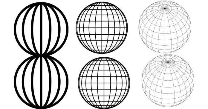
Latitude and longitude are the grid lines used to pinpoint locations on Earth, and they are measured in degrees (°), minutes (‘), and seconds (“). These units reflect angular measurements that describe a position relative to the equator (for latitude) and the Prime Meridian (for longitude).
Latitude:
- Measures the distance north or south of the equator.
- Ranges from 0° at the equator to 90° at the poles.
Longitude:
- Measures the distance east or west of the Prime Meridian.
- Ranges from 0° at Greenwich, England, to 180° east or west.
The Breakdown:
- Degrees (°): The main unit of measurement, dividing Earth into 360°.
- Minutes (‘): Each degree is divided into 60 minutes.
- Seconds (“): Each minute is further divided into 60 seconds for precise measurements.
These measurements enable us to locate any place on Earth with remarkable accuracy. For example, a coordinate like 37°46’44″N, 122°25’10″W represents a specific spot on the planet.


